-
 Media gallery
-
 Media gallery
-
 Media gallery
-
 Media gallery
-
 Media gallery
-
 Media gallery
-
 Media gallery
-
 Media gallery
-
 Media gallery


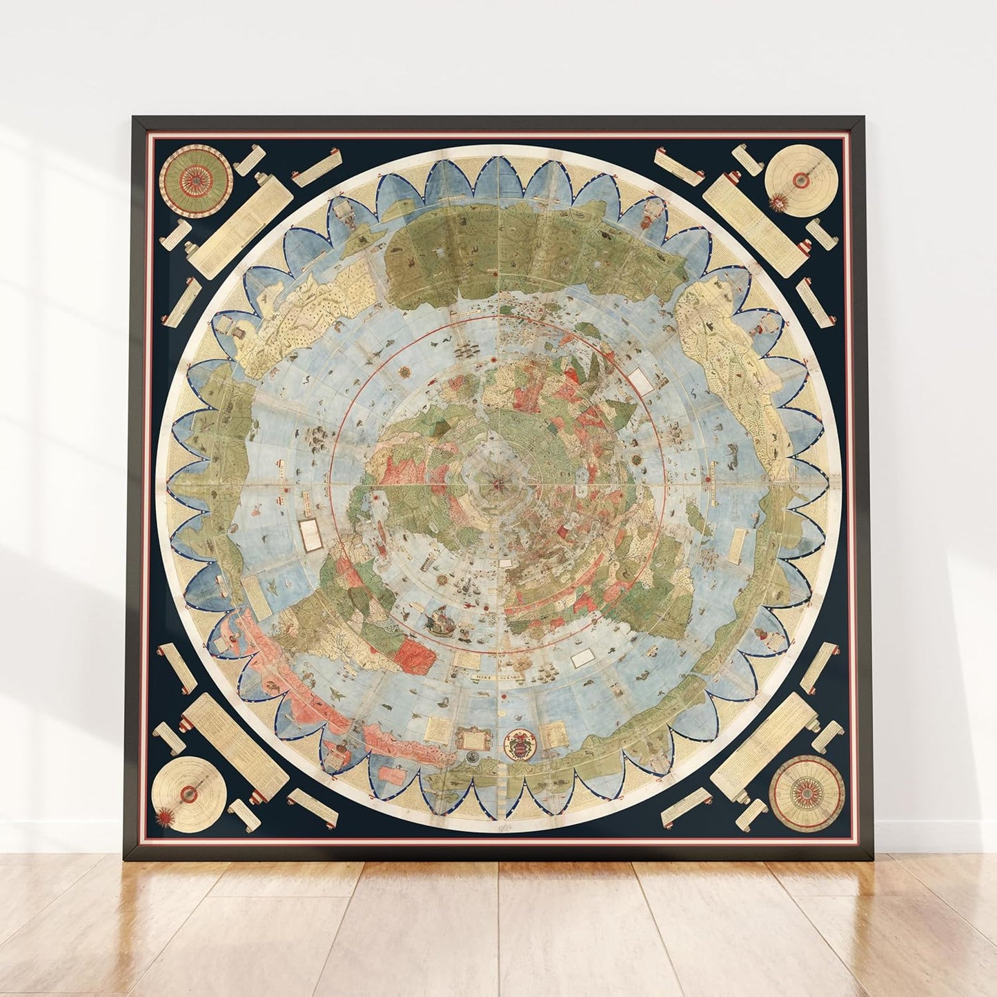
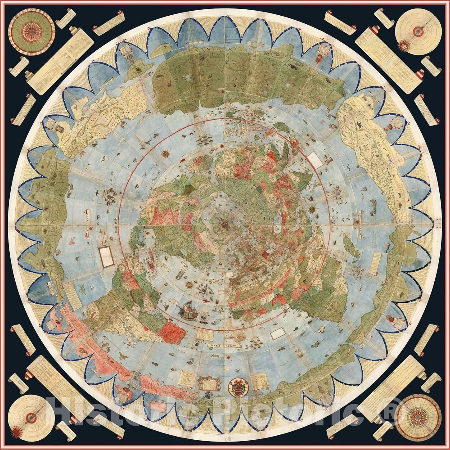
1587 Cornelius Map – Flat Earth North Pole
- Regular price
- $176.00 CAD
- Regular price
-
$0.00 CAD - Sale price
- $176.00 CAD
- Unit price
- per
Couldn't load pickup availability

Size Guide
Have a question?
Notified by email when this product becomes available

- Description
Description:
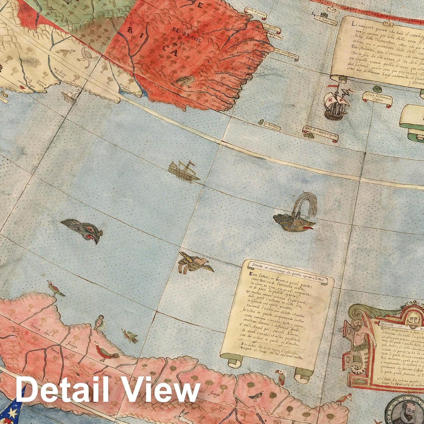
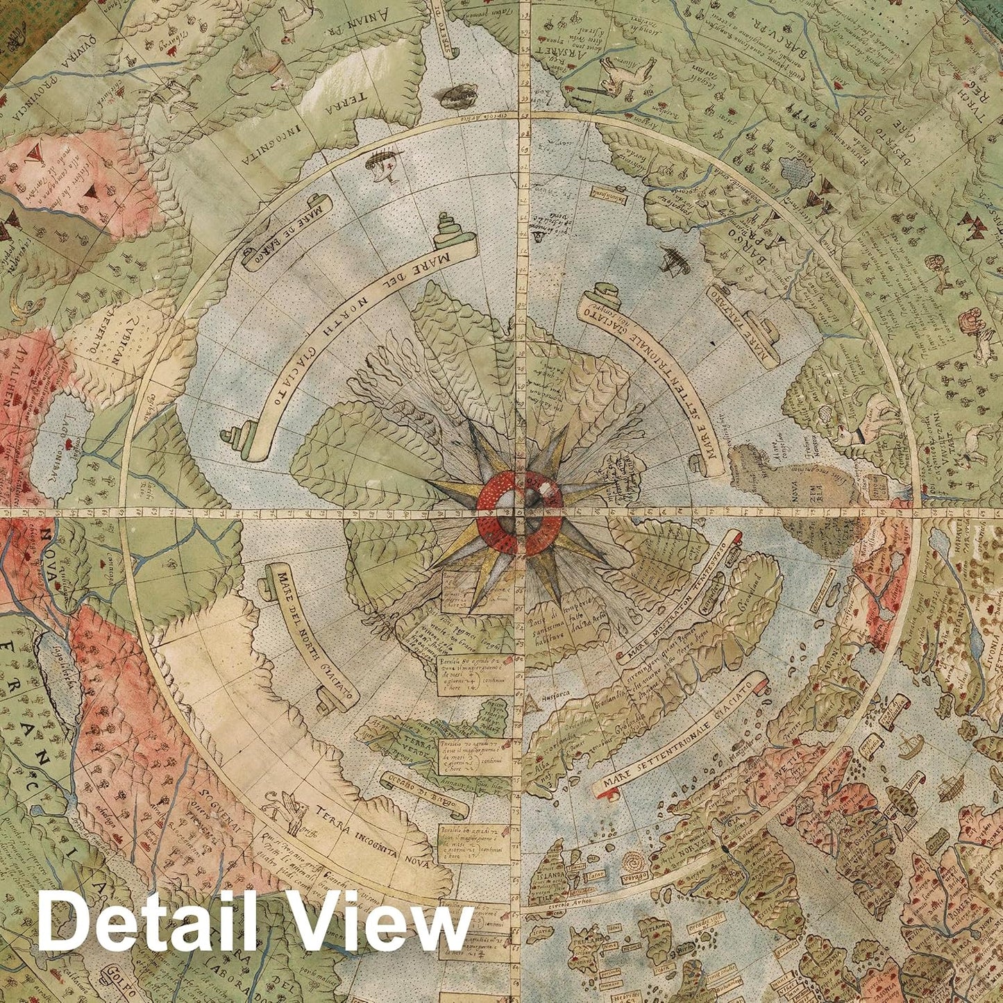
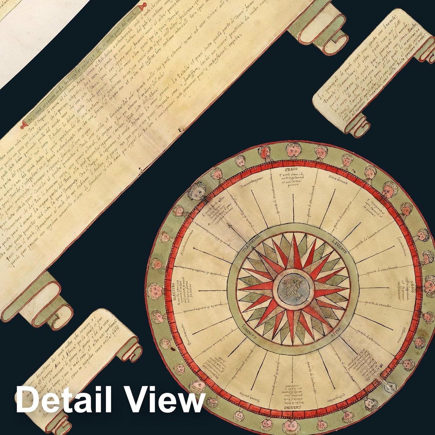
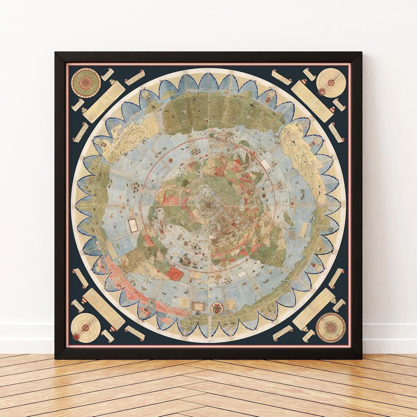
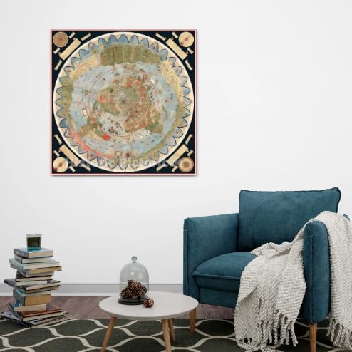
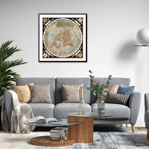
Step into a world before the globe narrative — a faithful reproduction of the 1587 Cornelius Wytfliet map, depicting the North Pole as a flat plane, divided by four rivers, crowned by the mysterious Rupes Nigra, the colossal black magnetic rock said to draw every compass, with Polaris shining above.
Printed with museum-grade giclée inks on 192gsm heavyweight matte archival paper, this piece preserves every intricate detail, from the cartographer’s artistry to the mystique of an era untainted by modern distortion.
Each map is meticulously restored—removing stains and marks that distract, while retaining its authentic aged character. Delivered unframed, crease-free, and ready for standard-size framing (16x20, 16x24, 18x24, 24x30, 24x36).
This is more than art — it’s a conversation starter, a teaching tool, and a glimpse into the truths hidden from history books.